Book Tickets Online
About
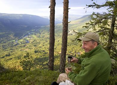
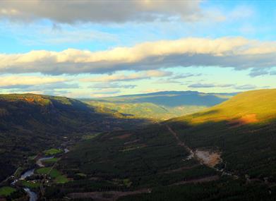
Short hike with great view.
Nice hike up the hill at the south side of the valley with great view over Hallingdal. Some steep parts towards the top. Torpo Stave Church from 1160 is worth a visit after the hike.
For map and elevation profile of this hike see www.aal52.no
How to get here: Drive State Highway 7 to the bridge at Trillhus, cross the Hallingdals river and drive under the railway bridge and follow the road Ridalsvegen (about 4,5 km from State High Way 7). Toll road.
Park at the dam in Ridalen.
Facilities
Distance
- length in km - 3 t / r
Grading
- easy - Blå, blue, blau
Nature and terrain
- difference in altitude - 636 - 820
- hiking area
- mountainous terrain
- view
- water