Book Tickets Online
About
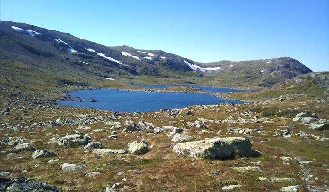
Spectacular high mountain hike along a good trail.The trail starts by Hellebu, just by the mountain Hellerane. Magnificent view from both Hellerane and Veslesyningen. From here the trail goes along a good trail, in a continous ascent until you come to the top and get a view over Reinsbotnan. Continue on the trail on the northside of "little" Reinsbottvatnet, where you can see a fishing cabin.
On the westside of the waters you have the mighty mountain summits of North and South Skorvefjell and Fossebrea (1666 masl) which is the highest mountain in this area.
From Reinbotnan you have the possibility to follow a slightly worse trail towards Fagerdalen. The hike then becomes 4,5 km longer.
For detailed map and elevation profile see www.aal52.no
The hike is part of Ål52's hiking programme "10 favorite hikes in Ål".
How to get here: Drive Nordbygdvegen (d.r 244) and follow the road inwards Votndalsåsen to Hellebu. Alternatively drive from Liagardane or from Myset/Fekjastølen. Toll road.
Park at Hellebu by Hellerane (upper, western mountain farm at Hellebu)
Recommended map for this hike is Reineskarvet 1:50 000. The trail is only sign posted by the starting point, and is not marked along the way so do use a map.
Facilities
Distance
- length in km - ca 12 km
General facilities
- duration - 2-3 timer
Grading
- medium - Rød, red, rot
Nature and terrain
- difference in altitude - 1045 - 1360 moh
- mountainous terrain
- view
- water


