Book Tickets Online
About
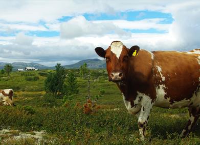
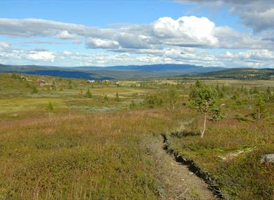
Child-friendly round trip in an mountain farm area at Torpoåsen.The hike starts by Gaurhovd and first stage is the top of Gaurhovd. A splendid view towards the Ål-mountains, Hallingskarvet, Dyna, the Gol-mountain and the Hemsedal-mountains. On your way down you cross the road Volelivegen before you continue the hike along a marked trail towards Skøytingset.
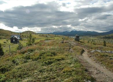
From here you walk on the northside of the fence around the mound until you pass the end of the cottage area of Gaurhovd - Gravarstølane. The trail continues eastwards towards Gravarstølane. Follow the trail to Søre Volelivegen and walk on the road past Gravarstølane. Then take the first road towards Solhovd, follow this one a few hundred metres and take the first to the right by the mound. You can also start the hike from Gravarstølane.
For detailed map and elevation profile see www.aal52.no
This hike is part of the hiking programme for Ål 52 "10 favorite hikes in Ål".
How to get here: Take off from Highway 7 by Torpo. Follow the signposts to Oppheim, drive Volelivegen to Gaurhovd. If you want to start from Gravarstølane, drive past Lien to Gravarstølane. Toll road (cash and card).
Park by the start of the trail at Gaurhovd, alternatively by Gravarstølane.
Recommended map for this hike is "Hemsedal, Gol & Ål" 1:60 000 or the Ål52-map.
Facilities
Distance
- length in km - 7 t/r
Duration
- 1 hour - 1,5 t
Grading
- easy - Grønn, green, grün
Nature and terrain
- difference in altitude - 980 - 1058
- mountainous terrain
- view