Book Tickets Online
About
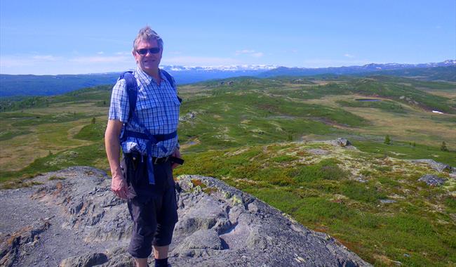
Well-marked hike in easy high mountain terrain with views over Hallingskarvet, the river Lya and a multitude of high mountain farms.The hike starts from Svarthamar through the cottage area and thereafter towards the high point of Blesti (1077 masl). On some maps the name of the top is not Blesti, but Gaukelinatten.
From Blesti you have a panoramic view over the many summits in the area, down to river Lya where it's nice with a bath on hot summer days. From Blesti you continue in a gradual descent to Tormodset.
You can also start the hike at Tormodset, and if you wish to make a round trip walk one of the many high mountain roads in the area back to Svarthamar.
For detailed map and elevation profile see www.aal52.no
This hike is part of Ål52's hiking programme "10 favorite hikes in Ål".
How to get here: Drive Nordbygdvegen (d.r 244) to Votndalen and take Fekjastølsvegen to Svarthamar. If you wish to start the hike at Tormoset, drive inwards Votndalsåsen until you reach Tormodset. Toll road.
Park your can by Fekjastølsvegen, on the right handside a few hundred metres past Svarthamar. Alternatively by the highest point of Tormodset.
Recommende map for this hike is Reineskarvet 1:50 000. The hike is marked with poles with a signal red colour.
Facilities
Distance
- length in km - 7,6 en vei
Duration
- 2 hours - 1,5 - 2 t
Grading
- easy - Blå, blue, blau
Nature and terrain
- difference in altitude - 970 - 1077 moh
- hiking area
- mountainous terrain
- view


